History

An area of 47 hectares was dedicated for Public Recreation in the NSW Government Gazette on 25th March 1887. Oatley Park protects important examples of the natural environment which occurred throughout the area before the spread of suburbs. During the Great Depression (1929-1933) significant changes were made to the park. Roads were constructed by men on the Unemployment Relief Scheme. Paths and lookouts were constructed as well as the castellated kiosk known as The Castle.
On July 1942, the 26th Field Company of the Royal Australian Engineers was moved from Carss Park to Oatley Park. Australian Military Forces ceased using Oatley Park in October 1943.The concrete floor of a kitchen, ordinance store and shower block, some stone steps and a small concrete map of Tasmania can still be seen.
Oatley Park protects important examples of the natural environment which occurred throughout the area before the spread of suburbs. Within its boundaries are numerous micro-habitats giving protection to a variety of native plants and to animals which rely on those plants for food, shelter and nesting.
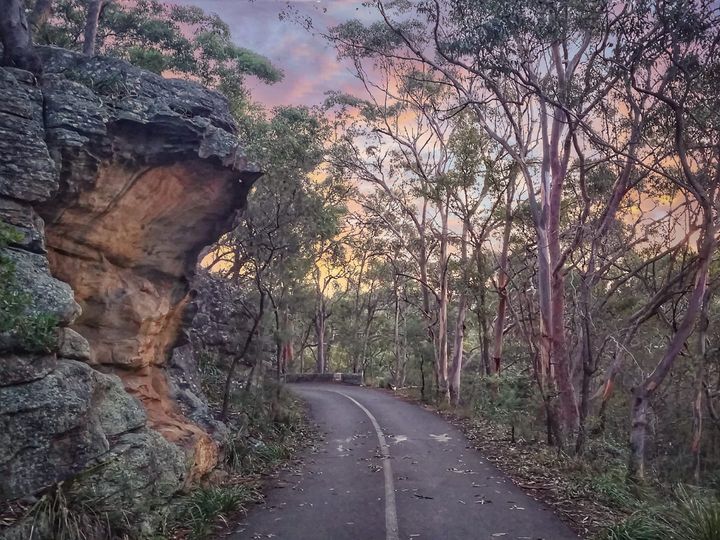
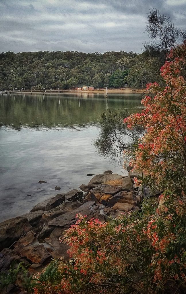
The peninsular is predominantly Hawkesbury Sandstone so the soils are mainly shallow skeletal sands with a mixture of light clay and weathered shale lenses. Woodland occurs on the plateau dominated by an open low tree cover and scattered shrubs. Open forest with taller trees occurs on the slopes. On the more sheltered south and east slopes, especially beneath the sandstone cliff line, the ground cover is denser and there are some rainforest elements, such as vines, ferns and broad-leaved trees and shrubs. Extensive mangrove forests occur along Lime Kiln Bay, with a narrow band of salt marsh on saline silts and sands.
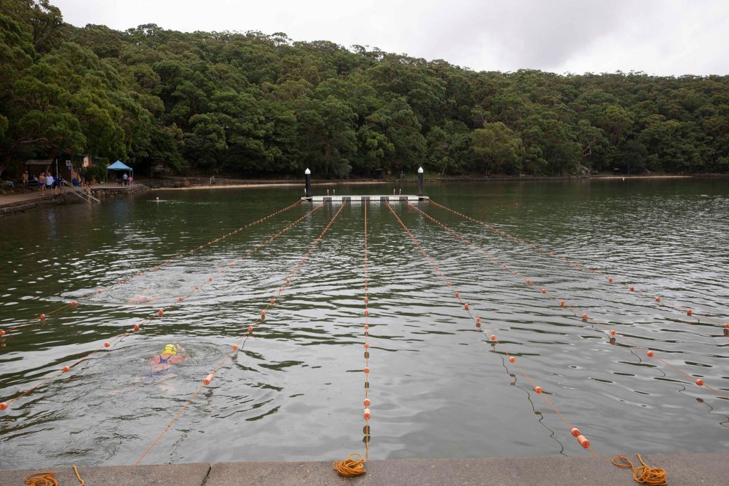
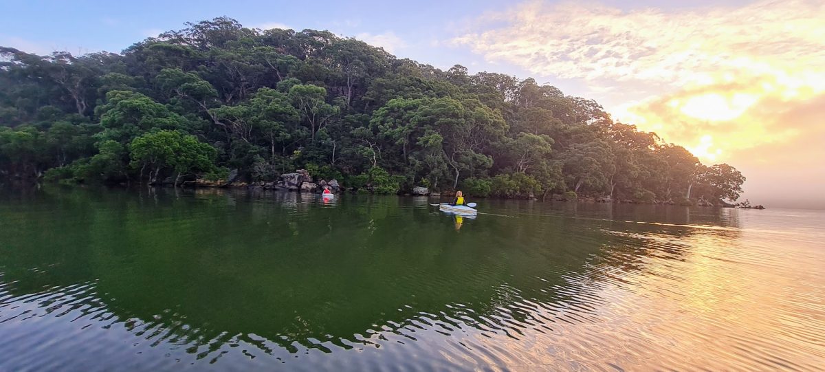
The sandy bay of Oatley Park has long been used as a swimming spot for local residents. The Oatley Swimming Club was founded in 1927. See more in “Jew Fish Bay and Oatley Park Baths” by Rodger Robertson 2014
The